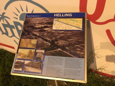
Helling
The name Helling is derived from the various shipyards that let barges run off the slope here between 1600 and 1850 or pulled up the slope for repairs. The Helling was the often difficult road or land to all the activity on the east side of the Vaartse Rijn.
Between 1400 and 1700 in particular, wood was stored and processed here, and stones, tiles and roof tiles were made. There were mostly simple houses, inhabited after 1850 by unskilled workers and pottery dealers of German descent. Next to the railway (built in 1845) stood a capital “huizinge” with a coach house and stables for horses, with a view over the bridge of Jeremie and the Kruisvaart. The fairly deep building belonged to the type of block-shaped 18th century houses with a continuous roof all around and monumental chimneys on the corners.
Around 1900 it housed an exotic zoo. The Oosterkade, previously called Oosterhelling, also belonged to the Helling. In 1930 the embankment was replaced by a quay.

