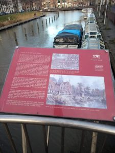
View of the Bemuurde Weerd
This cityscape was drawn around 1830 by Jan Hendrik Verheijen (1778 – 1848). To the right of the center, the Weerdsluis is visible: the spot where the Utrecht city moat merges with the river Vecht. This lock was constructed in the Middle Ages to regulate the water level in the canals and moats. Around this water barrier, the Bemuurde Weerd suburb developed.
At the time Verheijen made the drawing, Utrecht's population was rapidly growing and there was plenty of activity in the area, including a spinning mill and a sawmill. There were also copper foundries, bakers, butchers, pottery workshops, and lumberyards. The Weerdsluis was part of the ‘Keulse Vaart': the shipping route between Amsterdam and Germany. This route led from Amsterdam, following the Vecht through the Utrecht canals and the Vaartsche Rijn, to the Lek and the Rhine.
Behind the corner house with the stepped gable on the left side of the drawing, the tall masts of a ship lying in the Vecht can be seen. The basement under this house runs under the road to the water. This is noteworthy because this construction is characteristic of the canals within the city walls, but was rare elsewhere. To create the continuous basement, a part of the bank was excavated.
The bank next to it is still intact. A staircase leads down to the water, where several boats are moored, including a towboat. There was no sewage system around 1830. Many families relied on public toilets, such as the wooden house in the center of the drawing.
Jan Hendrik Verheijen's drawing is kept in the Utrecht Archives and was donated to the city by the Friends of the Utrecht Archives Foundation.
Photo 1. The oval on this 17th-century map indicates the part of the Bemuurde Weerd and Weerdsluis depicted in the drawing, Utrecht Archives.
Photo 2. View of the city's outer moat around 1830, drawing by J.H. Verheijen, Utrecht Archives.

